James river
Adventure and Conservation Flow Together
Your Guide to the James River
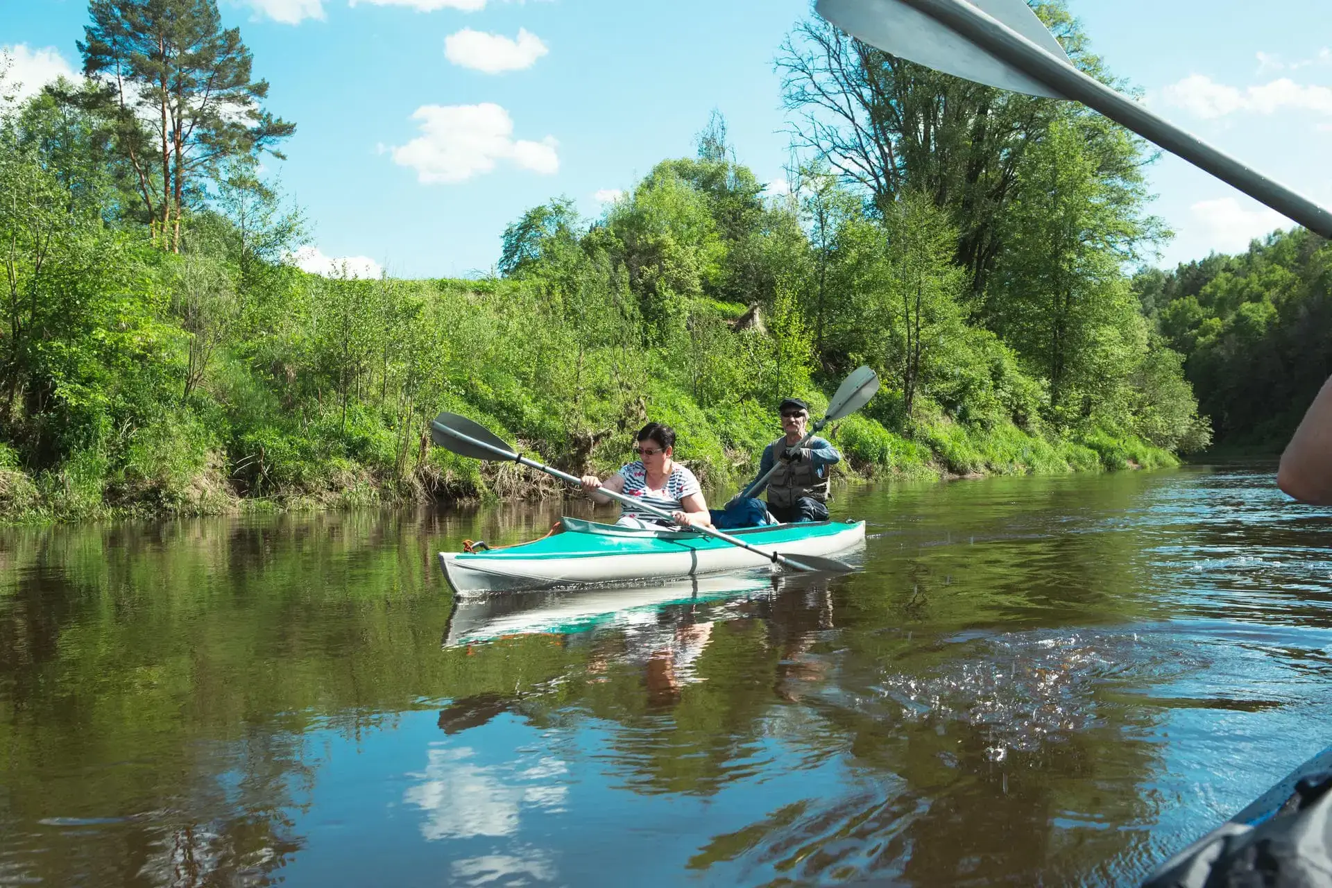
Clear riffles, quiet pools and scenic Ozarks landscapes make the James River a favorite destination for paddlers, anglers and outdoor explorers.
Christian County is part of a much larger watershed, and many of the river’s primary public access points are located in neighboring communities. Exploring the James is a regional adventure that can carry visitors from the Springfield area toward Table Rock Lake, with plenty of opportunities to experience the water along the way.
Paddle Into Adventure
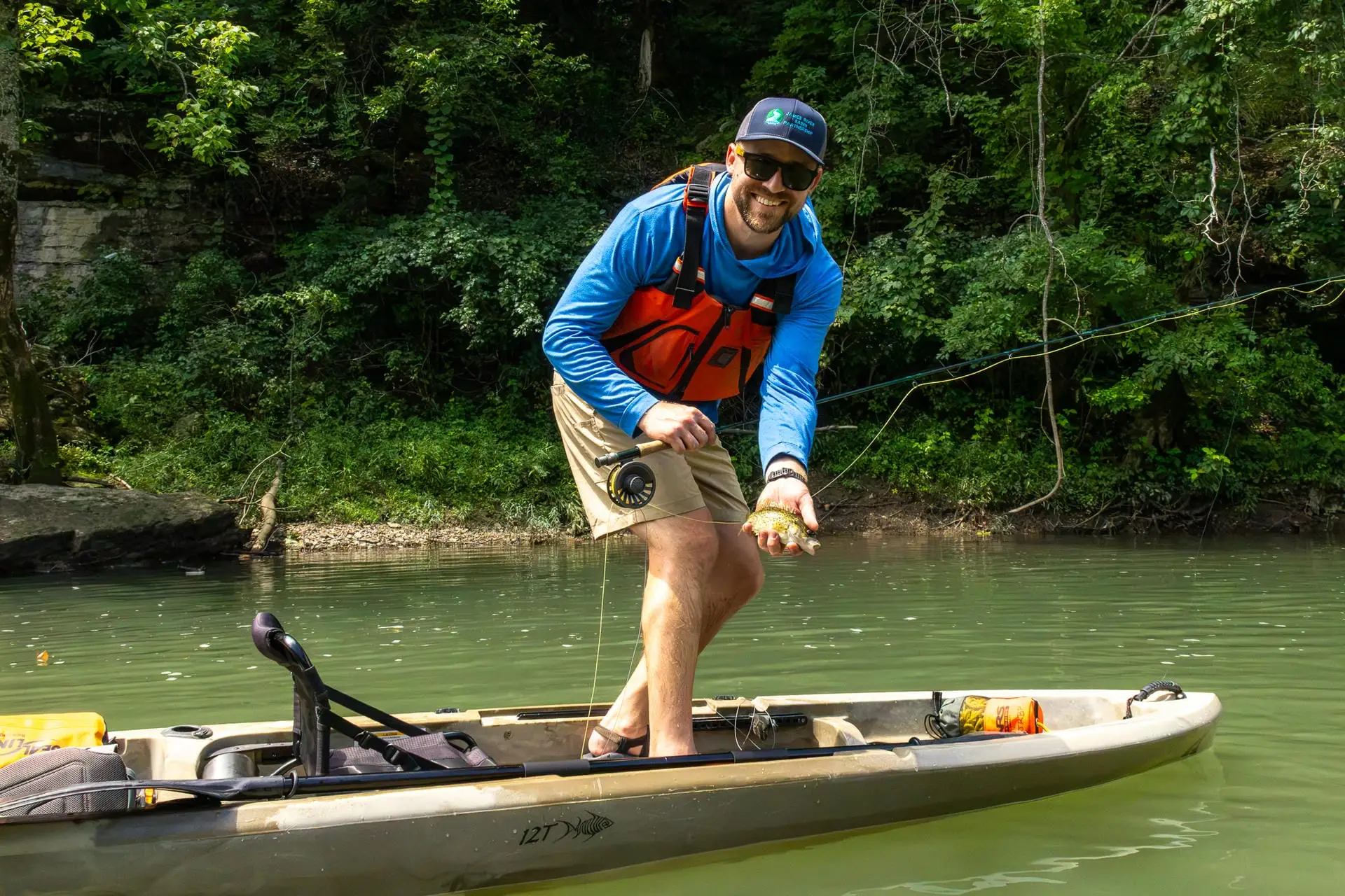
The James River and its tributaries offer countless ways to experience the outdoors, from kayaking and canoeing to fishing, swimming, birding and wildlife watching. The Finley River adds another scenic connection to the watershed, with quieter stretches, peaceful views and opportunities to explore the Ozarks at a slower pace.
While Christian County includes access to the James River and Finley River, many of the region’s primary public access points are located in neighboring communities. Spanning portions of eight Southwest Missouri counties, the watershed is best explored as a regional adventure. Visitors can follow the water beyond Christian County toward the Springfield area, the Lower James and Table Rock Lake, discovering public lands, gravel bars and new stretches of river along the way.
Public access points make it possible to plan a do-it-yourself trip with personal equipment, while local outfitters can provide boats, shuttles and guidance. River conditions can change quickly, so always research the section you plan to visit, confirm that access points are open and choose a route that matches your experience and skill level.
Recreational Activities
The James River offers a variety of recreational activities for outdoor enthusiasts. Visitors can enjoy kayaking through serene waters, with multiple access points for easy launching. The river is also popular for fishing, with a variety of species to catch, and there are opportunities for hiking along its scenic trails. Public lands surrounding the river provide excellent spots for wildlife watching and picnicking, making it a great destination for families and adventurers alike. Explore the diverse activities the river has to offer!
Visitors can also enjoy swimming, wade fishing, birding and wildlife watching, making the James a scenic destination for both laid-back outings and days filled with adventure.
A Vital Waterway for Adventure & Conservation
Much of the information and river guidance on this page was provided by the James River Basin Partnership (JRBP). Since 1997, JRBP has worked to improve and protect water quality throughout the James River watershed through education, community programs, river cleanups, conservation projects and partnerships with local residents and landowners.
The watershed covers 931,112 acres across Southwest Missouri and includes more than 300 river miles, 563 springs and thousands of sinkholes. Its streams, springs and groundwater are closely connected, making the health of the watershed important to both local communities and wildlife. Groundwater provides approximately 95% of Southwest Missouri’s drinking water, while the James River also supplies a portion of Springfield’s public water.
With 151 losing streams and 598 gaining streams, water can move between the surface and underground systems throughout the watershed. Protecting these connected resources helps preserve clean water, wildlife habitat and recreational opportunities for future generations.
Map of access points for the James and Finley Rivers, based on the Missouri Department of Conservation’s A Paddler’s Guide to Missouri and other resources. Information is accurate as of publication but paddlers should verify and adhere to local laws and regulations.
Upper James
Known for its clear water and scenic beauty, the Upper James offers a mix of riffles and calm stretches, perfect for a relaxing float. Access points include Joe Crighton Access, Southwood Access, and Lake Springfield.
Middle James
Flowing through the heart of the Ozarks, this stretch features natural beauty, small rapids, and tranquil waters. Key access points include Tailwaters Access, Delaware Town Access, Shelvin Rock Access, and Hooten Town Access.
Lower James
The Lower James offers more adventure with Class I rapids, combining excitement and stunning Ozark landscapes. Access points include H.L. Kerr Access and Ralph Cox Memorial Access.
Access points, parking areas, river routes and property rules can change. Verify current conditions and regulations before beginning a trip.
Visitor Tips
- Plan Your Route: Research your put-in and take-out locations, confirm that access points are open and arrange transportation or a shuttle before your trip.
- File a Float Plan: Tell someone where you are going, who is joining you and when you expect to be off the water.
- Check Current Conditions: Review the weather and river level before leaving. Water depth and flow can change quickly, so choose a stretch that matches your experience level.
- Bring the Right Gear: Wear a properly fitted life jacket and pack plenty of water, sunscreen, bug spray, snacks, a dry bag and a basic first aid kit.
- Know the Hazards: Watch for fallen trees, rootwads, shallow riffles and other obstacles. If the route ahead looks uncertain, stop somewhere safe and scout it from shore.
- Respect the River: Give other visitors space, stay off private property, observe wildlife from a distance and pack out everything you bring with you.
Check Current River Conditions
The U.S. Geological Survey provides real-time and near-real-time readings from river gauges, including water level and streamflow. Search the map for a monitoring location near your planned route, review the recent data and use it alongside the weather, local guidance and your experience level when deciding whether to float.
Quick Facts
- Watershed Size: 931,112 acres
- Counties: 8 across Southwest Missouri
- River Miles: More than 300
- Springs: 563
- Popular Activities: Paddling, fishing, swimming, birding and wildlife watching
Trailblaze & Gaze
Enjoy 2,700 acres of trails, wildlife observation, camping, and a firearms range in the beautiful Ozarks
A key transportation and recreation corridor, this trail brings together history, nature, and community between Ozark and Springfield
Experience 80 miles of rugged trails for off-road motorcycles and ATVs, with challenges for all skill levels and nearby camping
A scenic park with walking trails, picnic areas, a playground, and river access, perfect for kayaking, fishing, family outings, and community events
A serene community forest with trails, bird-watching spots, and natural springs, offering a peaceful escape in the heart of the Ozarks
This 40-acre park features The X Center, an Aquatics Center, playground, soccer fields, disc golf, walking trail, and a pavilion for outdoor fun and relaxation
This community hub features an inclusive playground, disc golf, walking trails, a monthly book walk, and a seasonal outdoor pool for summer fun
Adventure awaits at Swan Creek in Mark Twain National Forest, with trails for hiking, horseback riding, and a relaxing natural setting
With its diverse trails, perfect for mountain biking, hiking, and soaking in scenic Ozark views
Explore historic trails where Civil War history comes alive, perfect for walking and horseback riding through a key battle site
Ride Missouri’s only indoor/outdoor Onewheel park with custom trails, ramps, and rentals included. Non-riders can relax at the YIPOA Center
The Official Christian County Area Guide
Your next adventure is closer than you think.